Nicola Roversi
Co-founder
Spatial tools for property professionals
Surface Identity develops software and services to survey, document and present properties with greater precision and less manual work.
Pre-launch project · No capability is commercially available yet
The toolbox
Each solution can be selected independently, depending on whether the property needs to be surveyed, documented or presented.
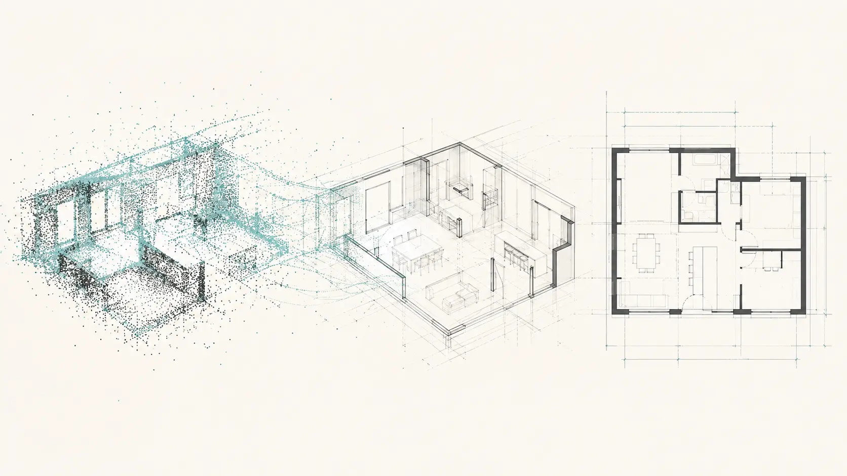
A workflow designed to transform professional point clouds into editable two-dimensional floor-plan drafts in DXF format.
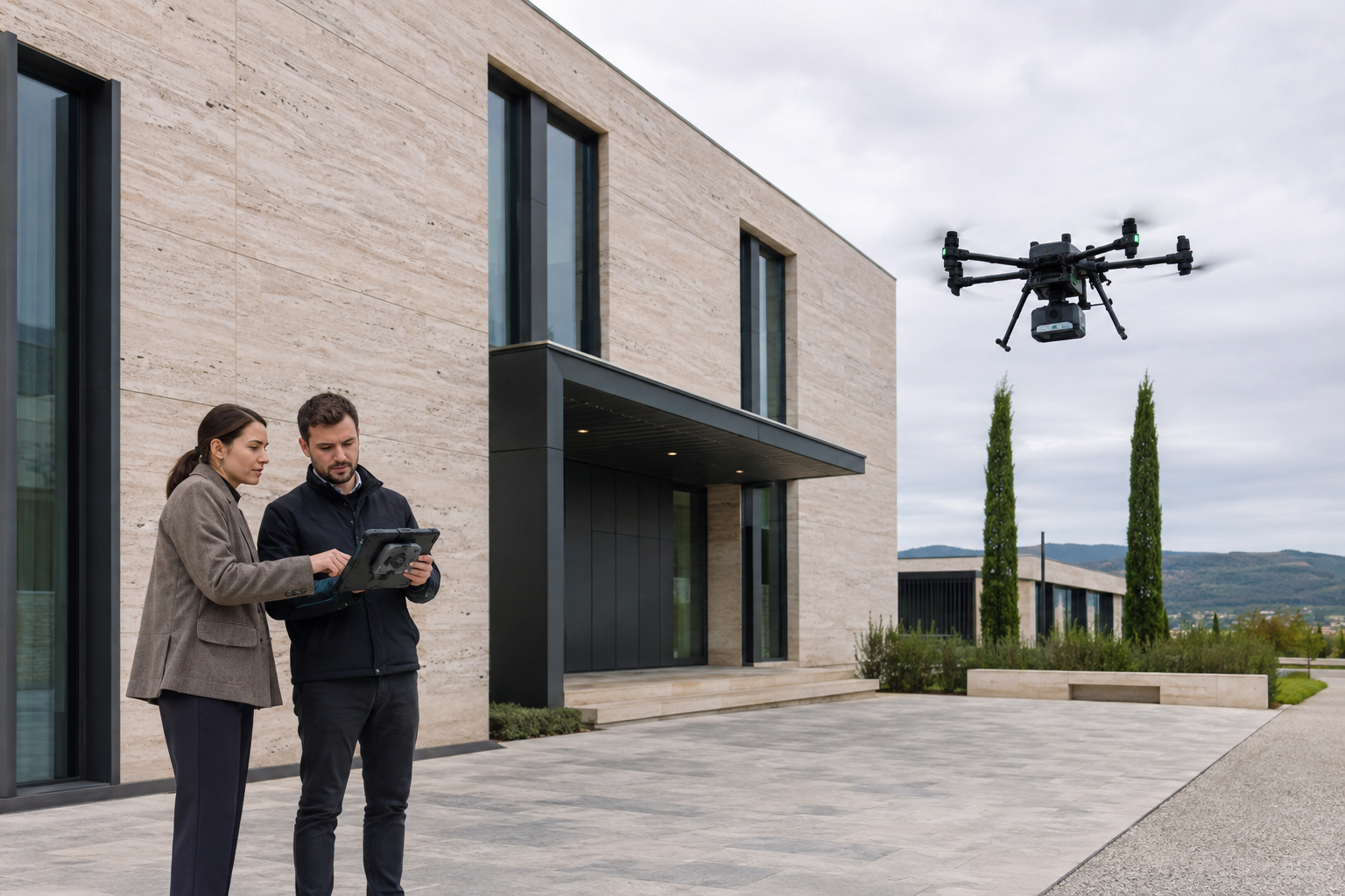
Explore the product →A planned service for acquiring accurate three-dimensional property data through qualified external operators.
Explore the product →Static visualisations that show the potential of a property through furnished spaces.
Explore the product →Core workflow
The product is designed to reduce manual redrawing while keeping the qualified professional in control of verification.
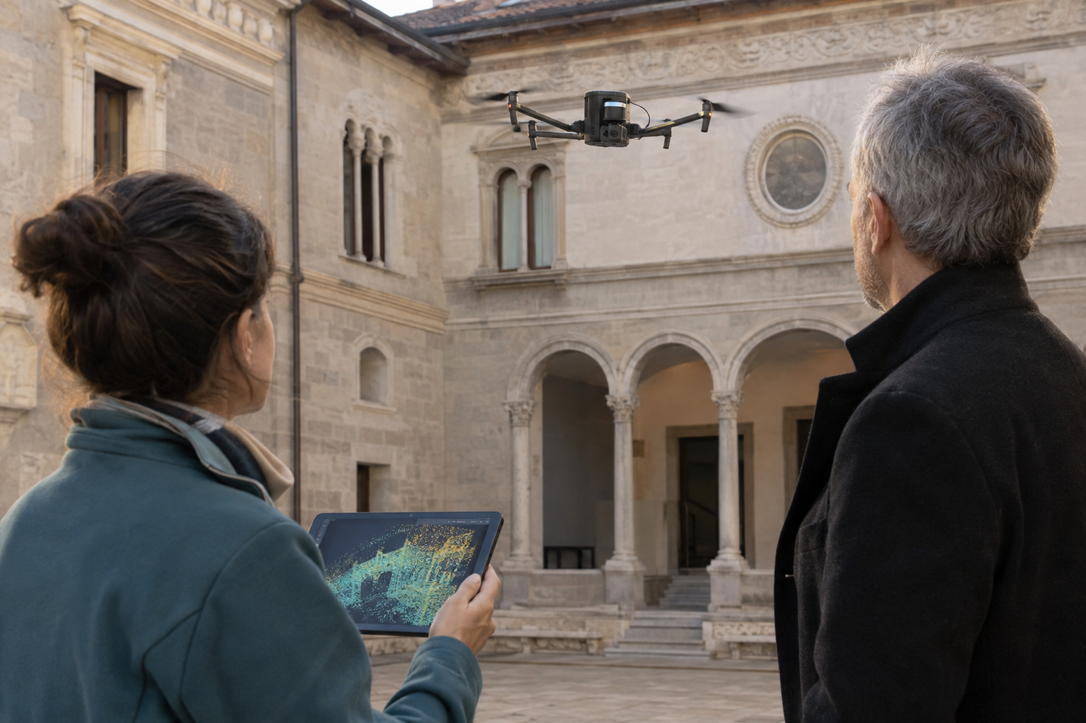
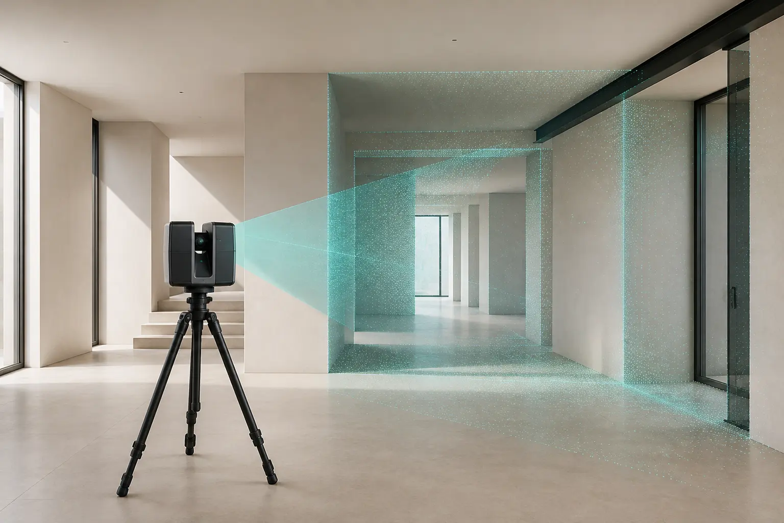
Data captured with professional laser scanners or supplied by qualified operators.
Recognition of spatial geometry and transformation into a two-dimensional drawing.
A format compatible with common professional CAD workflows.
The surveyor checks, completes and takes responsibility for the drawing.
For professionals
The technology does not replace professional judgement. It makes the path from captured data to editable output more efficient.
Reduce time spent repeatedly reconstructing the floor plan.
Spend less time on site when professional scanning captures the required data.
Create a more consistent path from point cloud to DXF file.
Outputs intended to be checked, edited and completed by a surveyor.
Pre-launch
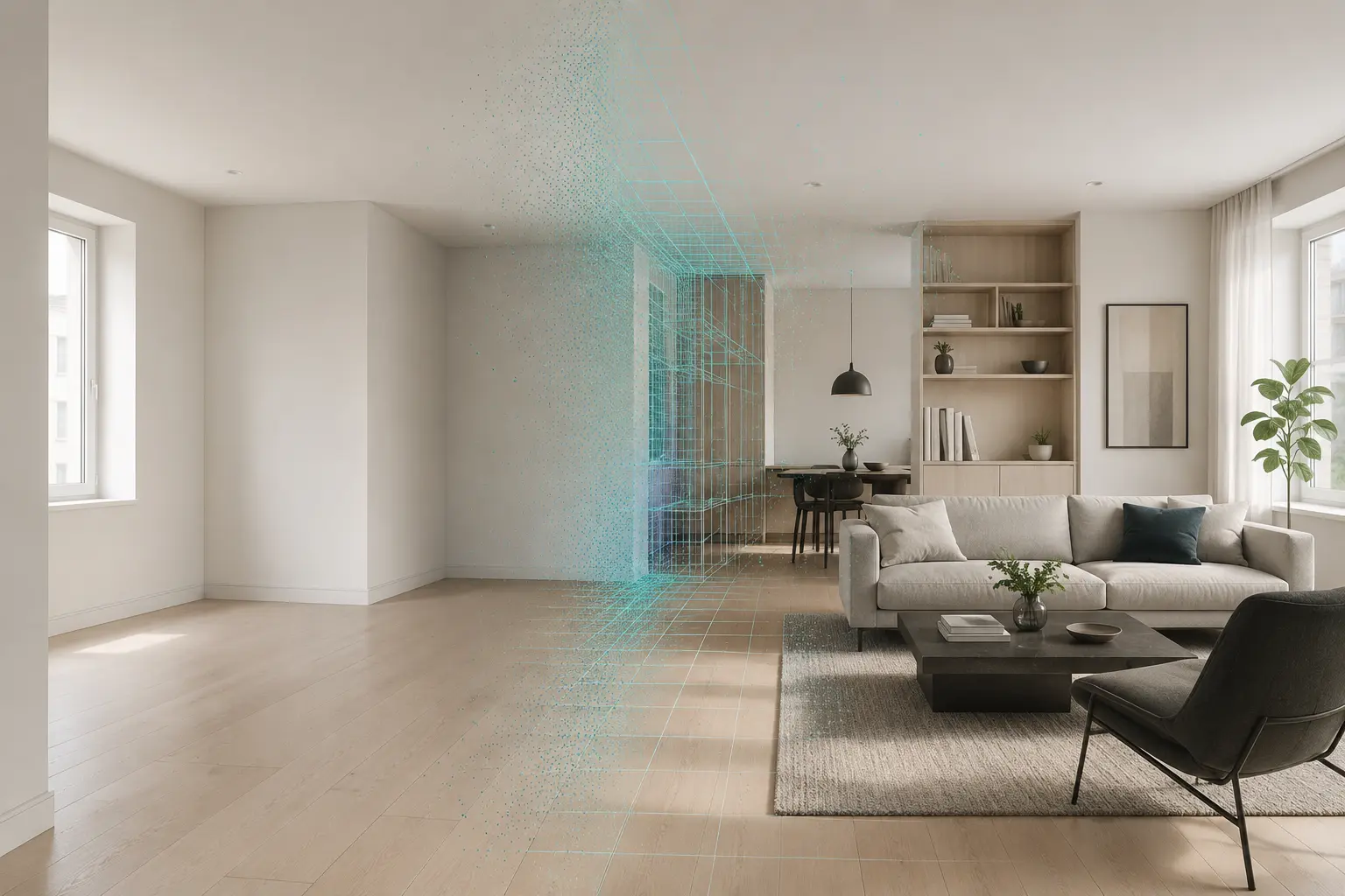
This website presents the intended direction of Surface Identity. Its images are conceptual and do not represent validated software results.
Waiting list
Registration lets visitors identify the products that matter to them.
Company
The project originated in software for surface recognition and now focuses on tools that can support professional property workflows.